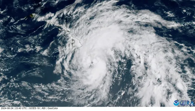
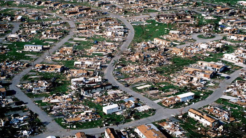
Hurricane Hone soaks Hawaii with flooding rain; another storm approaching
Editor's note: This page is a summary of news on Hone for Sunday, Aug. 25. For the latest news on Tropical Storm Hone and Hurricane Gilma, view USA TODAY's story for Monday, Aug. 26.
Dual hurricane threats are zeroing in on Hawaii, a rare combination that could bring impactful rain and winds to the islands twice within a week.
The Big Island of Hawaii was under a tropical storm warning until it was discontinued early afternoon Sunday after Hurricane Hone had passed south of the island, with its sustained winds down to 80 mph. The storm had gained Category 1 status overnight and made its presence felt despite not delivering a direct hit.
"Widespread rainfall of 10 to 15 inches has already fallen across windward Big Island over the past 24 hours, with some locally higher amounts of 18 inches or more,'' the National Weather Service said near 11 a.m. Hawaii time. "Additional rainfall estimates of 3 to 5 inches will keep a moderate to high threat of flash flooding today over much of Hawaii County.''
The heavy rain also raised the risk of mudslides in the mountains, but it reduced the chances the winds would fuel a destructive wildfire like the one that leveled the town of Lahaina in Maui last August. The weather service took down its red flag warning for wildfires in drier areas of the islands, The Associated Press reported.
Hone is expected to weaken but still bring gusty winds and substantial rain to the smaller Hawaiian islands through Monday as it heads west. The National Hurricane Center also warned of "life-threatening surf and rip current conditions."
Nearly 26,000 utility customers were out of power Sunday afternoon, according to poweroutage.us, the vast majority of them in the Big Island.

Hurricane Gilma could near Hawaii this week
Another named storm that's currently a major hurricane could impact the islands in the coming days.
Hurricane Gilma, still more than 1,300 miles east of the Big Island on Sunday, was unleashing sustained winds of up to 115 mph − making it a Category 3 storm − as it churned harmlessly away from land in the eastern north Pacific Ocean. The question is how long Gilma can sustain its power during its western travel.
The hurricane center said Gilma figures to weaken as the week goes along, remaining at hurricane level through early Tuesday but losing steam as it approaches Hawaii later this week.
Two named storms have not come within 300 miles of the main Hawaiian islands in a week's span since 1992, according to AccuWeather, which said more than 40% of the tropical cyclones to have an effect on the state throughout the year take place in August.

A third system, this one east of Gilma and nearly 1,000 miles west of Baja California, developed enough Sunday to earn tropical storm status. It was named Hector and was generating sustained winds of up to 45 mph.
The NHC said Hector will slowly get stronger over the next couple of days.
Disclaimer: The copyright of this article belongs to the original author. Reposting this article is solely for the purpose of information dissemination and does not constitute any investment advice. If there is any infringement, please contact us immediately. We will make corrections or deletions as necessary. Thank you.


