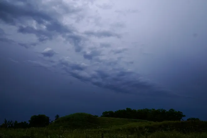
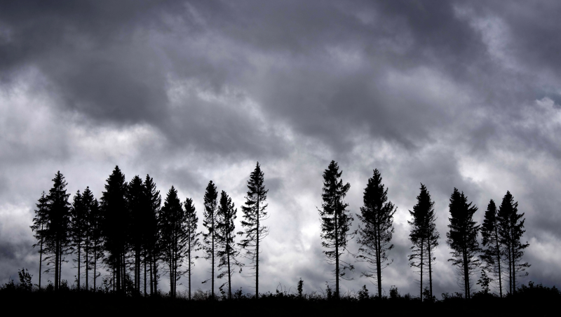
Dangerous storms, tornadoes threaten more than 80 million on East Coast
A wicked weather system had a large chunk of the East Coast in its crosshairs Monday in a summer of relentless heat and pounding storms.
From Atlanta to Philadelphia, more than 80 million people were at risk for dangerous winds, flash flooding and isolated tornadoes, forecasters said. "Robust southwesterly winds will transport abundant moisture up the Eastern Seaboard, providing the potential for a washout in some interior sections of the Northeast as thunderstorms produce impressive downpours," AccuWeather Meteorologist La Troy Thornton said.
Thunderstorms were already triggering localized torrential downpours and disrupting travel in parts of the central Appalachians and the Northeast on Monday morning, AccuWeather said.
NOAA's Storm Prediction Center issued a moderate risk warning for severe storms across parts of the mid-Atlantic, including Baltimore and Washington, D.C., and warned of "widespread damaging winds." AccuWeather said it has been at least five years since the prediction center issued that threat level for the area.
What is the timeline for the storms?
The showers and thunderstorms that were dotting the Midwest, South and East early Monday were expected to intensify by early afternoon and roll through the evening, weather.com said. The outlet warned of destructive straight-line winds that could topple trees and spark power outages, hail, flash flooding and tornadoes.
The Washington, D.C., area forecast for severe weather at a Level 4 out of 5 was a "very rare" ranking, according to The Washington Post's Capital Weather Gang.
The Washington area was one of many along the East Coast under a tornado watch Monday afternoon through 9 p.m. ET. While the DC-area storm may not become a derecho − the equivalent of an inland hurricane − it could have some "derecho-like impacts," the Capital Weather Gang said.
Other cities that could be thrashed by the intense system, according to AccuWeather: Pittsburgh; Cleveland; Cincinnati; Baltimore; Charleston, West Virginia; Knoxville, Tennessee; Huntsville, Alabama; and Raleigh, North Carolina.
The turbulent weather could plague much of the East the rest of the week as well, forecasters said.
"The pattern this week will feature frequent showers and thunderstorms, typically every other day or so, across much of the East," AccuWeather Senior Meteorologist Alex Sosnowski said. "Even though it may not rain as much or as often as it did in July, conditions may again pose daily challenges for outdoor plans and travel."
How hot is it?:6.5 billion people endured climate-change-driven heat in July, report says
Will the extreme heat return in the mid-Atlantic?
The good news − for now − is that the stormy, wet weather should keep at bay the intense heat that engulfed the mid-Atlantic and part of the Northeast in July, forecasters said.
August temperatures have been 3-6 degrees below the historical average from Washington, D.C., to Boston so far, AccuWeather said, but forecasters warned that the heat could make a comeback.
"Heat can build during the middle to late part of August in the Northeast and mid-Atlantic as many kids return to school. This can be accompanied by high humidity and a risk for thunderstorm activity," AccuWeather Meteorologist Brandon Buckingham said.

But heat still has the South in its grips
"Dangerously hot daytime temperatures" were expected across the South on Monday and Tuesday, according to the National Weather Service. The record highs would persist from the Desert Southwest into Texas and extend eastward along the Gulf Coast into parts of the Southeast and Florida, the weather service said.
Everything you need to know about heat:From the heat index to a heat dome to an excessive heat warning
Highs could hit the upper 90s to the lower 100s with a heat index − what the temperature feels like when relative humidity is combined with the air temperature − of 105 to 115 degrees in those areas, according to the weather service. The hot temperatures, dry ground conditions, low humidity, and gusty winds would elevate the wildfire risk in the Four Corners states into Texas, the weather service said.

Disclaimer: The copyright of this article belongs to the original author. Reposting this article is solely for the purpose of information dissemination and does not constitute any investment advice. If there is any infringement, please contact us immediately. We will make corrections or deletions as necessary. Thank you.


