Hilary in photos: See flooding, damage in Southern California after storm moves through
After making landfall in Mexico Sunday, Hilary swept through the U.S. Southwest, bringing flooding, mudslides and water rescues. It was the first tropical storm to cross into California from Mexico since Nora in 1997.
The National Weather Service said the storm, which has been since weakened to a post-tropical cyclone, could produce another 2 to 4 inches of rain in many areas Monday, and isolated areas across portions of Southern California and southern Nevada could see up to 12 inches through Monday.
More than 1,000 flights were canceled Sunday and thousands were without power Monday in California after the initial storm.
Parts of Oregon and Idaho could see up to 5 inches of rain through Tuesday morning as the storm moves north, resulting in some "significant" flash flooding, the weather service said.
Live storm updates:Flooding, mudslides, water rescues − and Hilary's destruction not done yet
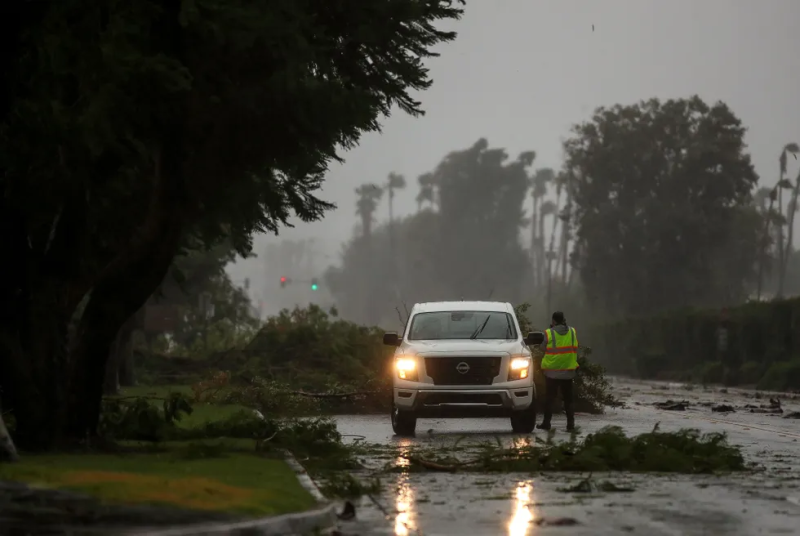
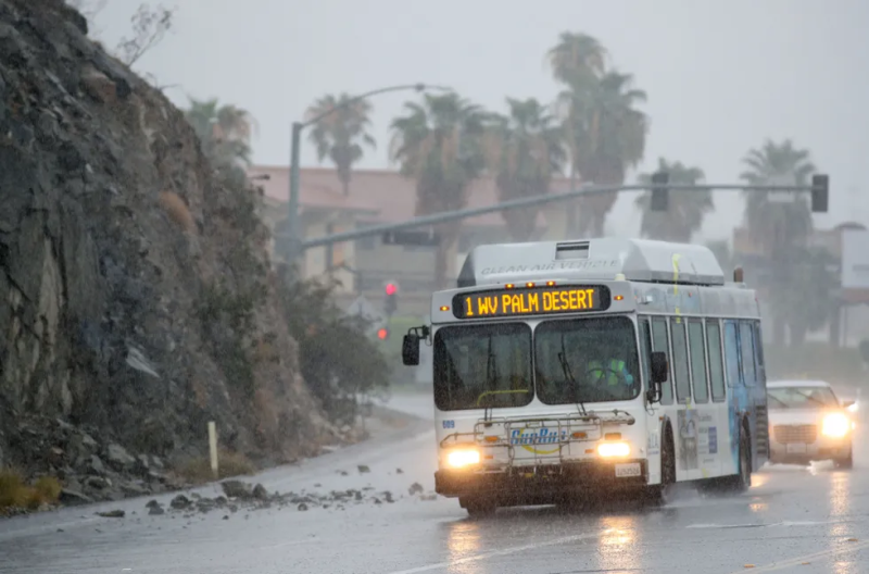
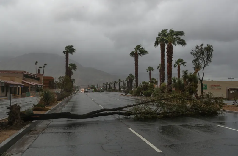
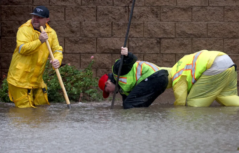
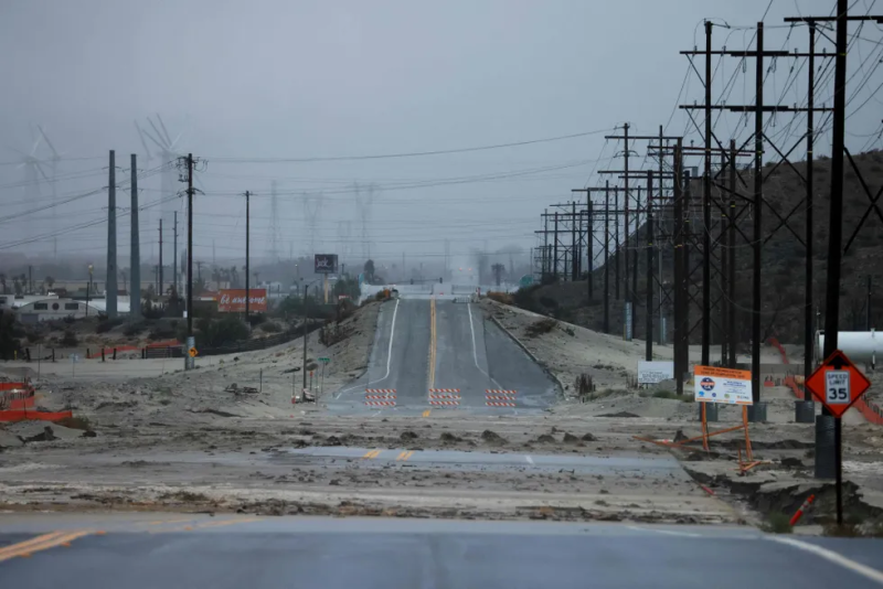
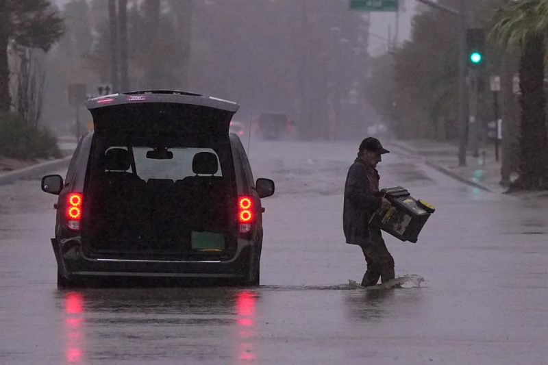
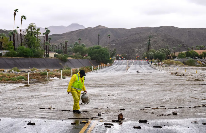
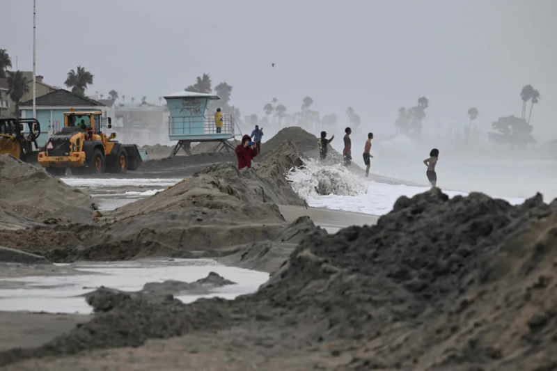
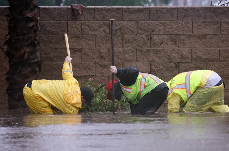
Photos show flooded streets and submerged cars in parts of Southern California as Hilary passed through on Sunday. Here's what it looked like:
Hilary damage seen around Southern California











Disclaimer: The copyright of this article belongs to the original author. Reposting this article is solely for the purpose of information dissemination and does not constitute any investment advice. If there is any infringement, please contact us immediately. We will make corrections or deletions as necessary. Thank you.


