Winter storms dump snow on both US coasts and make for hazardous travel. See photos of the aftermath
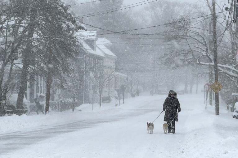
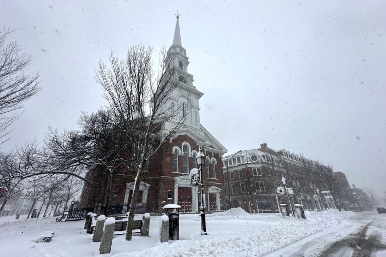
BOSTON (AP) — A major winter storm bringing heavy snow and freezing rain to some communities spread across New England on Sunday morning, sending residents scurrying to pull out their shovels and snowblowers to clear sidewalks and driveways.
Winter storm warnings and watches were in effect throughout the Northeast, and icy roads made for hazardous travel as far south as North Carolina.
The Northeast snow came as a Sierra Nevada storm packing heavy snow shut down a stretch of interstate Saturday and briefly knocked out power to tens of thousands in Reno, Nevada.
More than 13,000 electric customers in California were without power Sunday morning.

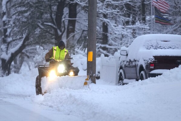
A man plows a snow covered driveway, Sunday, Jan. 7, 2024, in Derry, N.H. Some areas of New England are expected to receive about a foot of snow from a winter storm. (AP Photo/Charles Krupa)
Some communities in Massachusetts had already recorded nearly a foot of snow by Sunday morning, according to the National Weather Service. More than 16,000 electric customers in the state were without power.
Snow totals were lower for coastal communities, with Boston reporting just a couple of inches. The snow was expected to continue throughout the day, with some areas topping out at more than a foot.
The storm reached into Maine with some locations seeing snow totals of up to 12 inches — with locally higher amounts over southern New Hampshire and southwestern Maine. Wind gusts up 35 mph (56 kph) could add to blowing and drifting snow. Moderate to heavy snow was expected to continue in Vermont, with total snow accumulations of 6 to 12 inches (15.2 to 30.5 centimeters).
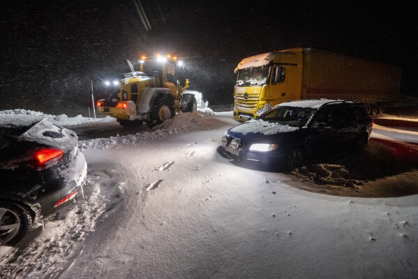
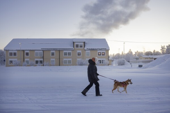
The weather service said the “major winter storm” would continue into Sunday evening, with snow in parts of New England and rain and freezing rain in areas the central Appalachian mountains.
The storm brought mostly rain to New York City but counties to the north and west saw double-digit snow totals by Sunday morning. Millbrook in Dutchess County, about 75 miles (120 kilometers) north of New York, recorded a foot of snow. Port Jervis in Orange County measured 13 inches (33 centimeters).
New York Gov. Kathy Hochul said Saturday that she expected two-thirds of her state to get 8 inches (20 centimeters) of snow or more, “fortunately missing some of our more populated areas downstate, the Long Island and New York City.”
“It’s going to be the first major snowstorm of the year and we’re ready for it,” she told Spectrum News.
In the West, a winter storm warning was in effect through Saturday night in the Sierra Nevada from south of Yosemite National Park to north of Reno, where the weather service said as much as 20 inches (51 centimeters) of snow could fall in the mountains around Lake Tahoe with winds gusting up to 100 mph (160 kph) over ridgetops.
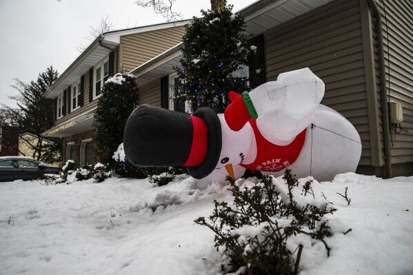
An inflatable snowman falls down during a winter storm in Orangeburg, N.Y. Sunday, Jan. 7, 2024. (AP Photo/Eduardo Munoz Alvarez)
The California Highway Patrol said numerous spinouts and collisions forced the temporary closure of I-80 for several hours from west of Truckee, California, to the state line west of Reno.
The weather service said that system would continue to bring heavy mountain snow and coastal rain overnight before moving into central and Southern California, then off to the Southwest and the southern Rockies.
The East Coast system was expected to track along the northeastern coastline throughout the weekend,
The National Weather Service said a foot of snow was reported in parts of Monroe County, Pennsylvania, and more than 11 inches reportedly fell in Jim Thorpe. Sussex County in New Jersey had 11 inches.
While warnings were being canceled and highway reduced-speed limits and other restrictions were lifted Sunday, forecasters were still cautioning motorists of spotty freezing rain and black ice that made for hazardous driving in parts of southeast Pennsylvania and northern New Jersey.
In Massachusetts and portions of Rhode Island, the National Weather Service declared a winter storm warning from 4 p.m. Saturday through 1 a.m. Monday, with snow accumulations of between 6 and 12 inches and winds gusting as high as 35 mph (56 kph).
Boston Mayor Michelle Wu said the city was preparing for the storm but wasn’t expecting it to be a major event, and the timing of the snow over the weekend meant it would likely have less of an impact on city life. Storm surges were also not expected.
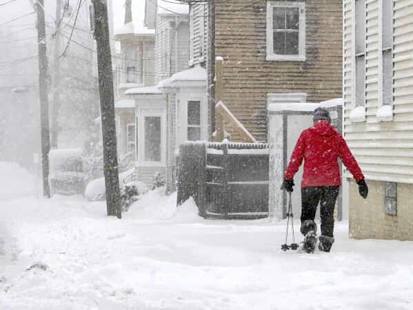
A person walks along a sidewalk as snow falls in Portsmouth, N.H., Sunday, Jan. 7, 2024. A major winter storm bringing up to a foot of snow and freezing rain to some communities spread across New England Sunday sending residents scurrying to pull out their shovels and snow blowers to clear sidewalks and driveways. Winter storm warnings and watches were in effect throughout the Northeast, and icy roads made for hazardous travel as far south as North Carolina. (AP Photo/Caleb Jones)
Ice arrived early Saturday to some western North Carolina and southern Virginia areas, ranging from a fine coating to around a quarter-inch (6.4 millimeters).
Forecasters also warned of another Northeast storm Tuesday into Wednesday that is expected to bring several inches of rain to already saturated ground that could result in some flooding and possibly damaging winds that could topple trees and power lines. The storm could also result in coastal flooding.
___
Associated Press reporters Ron Todt in Philadelphia and Carolyn Thompson contributed to this report.
Disclaimer: The copyright of this article belongs to the original author. Reposting this article is solely for the purpose of information dissemination and does not constitute any investment advice. If there is any infringement, please contact us immediately. We will make corrections or deletions as necessary. Thank you.


