Why did the Texas Panhandle fires grow so fast?
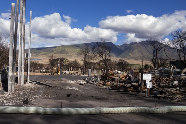
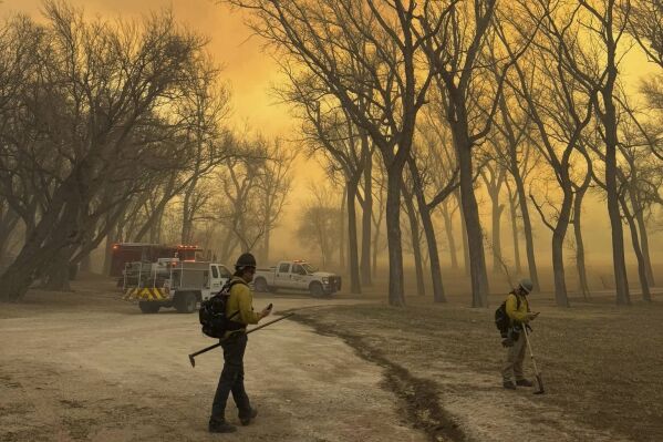
The rapid growth of raging wildfires in the Texas Panhandle has been staggering. Republican Gov. Greg Abbott issued a disaster declaration for 60 counties Tuesday as the blaze forced widespread evacuations and became the second largest in state history.
HOW DID THE FIRES BECOME SO FEROCIOUS?
Very high winds and very dry conditions Monday provided “the perfect set up” for the fires, said Samuel Scoleri, a forecaster at the National Weather Service Amarillo office. Some areas in the Panhandle recorded winds upwards of 60 miles per hour (100 kilometers per hour), with even stronger gusts. There is usually a lot of wind in the area, and it has been intensely dry with relative humidity at 20% or even lower in some places.
“We just had very windy conditions on top of very, very dry situations,” Scoleri said.


The Texas blaze is representative of a growing trend of wildfires intensifying and moving faster than ever.
HAS THIS REGION SEEN FIRES GROW SO QUICKLY BEFORE?
The largest of the Texas fires has grown to about 800 square miles (2,100 square kilometers), which is about 35 times the size of Manhattan in New York City.
One meteorologist told CNN that the fires were growing at a rate of about two football fields per second on Tuesday night. The winds have slowed substantially since then.
The East Amarillo Complex Fire in 2006 burned over 900,000 acres (3,600 square kilometers) in the same general location.
IS IT EARLY IN THE SEASON FOR THIS KIND OF FIRE ACTIVITY?
The region saw unusually warm temperatures Tuesday, in the 70s, when the 50s or 60s are more normal for this time of year. But dry winters are fairly standard for the area, Scoleri said.
“It kind of just feels out of the ordinary, considering at the top of the month we had places get almost half a foot of snow down south,” he said.
WILL THE FORECAST HELP OR HINDER FIREFIGHTING?
Wednesday is the day to wrangle these fires. Winds are forecast to be light — under 10 mph (16 kph) — until the late evening. On Thursday, some help could come in the form of light rain in the morning.
But Scoleri warned of a “deja-vu weather pattern,” with strong winds returning over the weekend, although likely not as intense as on Monday on Tuesday.
___
The Associated Press’ climate and environmental coverage receives financial support from multiple private foundations. AP is solely responsible for all content. Find AP’s standards for working with philanthropies, a list of supporters and funded coverage areas at AP.org.
Disclaimer: The copyright of this article belongs to the original author. Reposting this article is solely for the purpose of information dissemination and does not constitute any investment advice. If there is any infringement, please contact us immediately. We will make corrections or deletions as necessary. Thank you.


