Heavy rain continues flooding South Florida: See photos
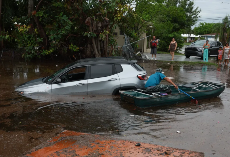
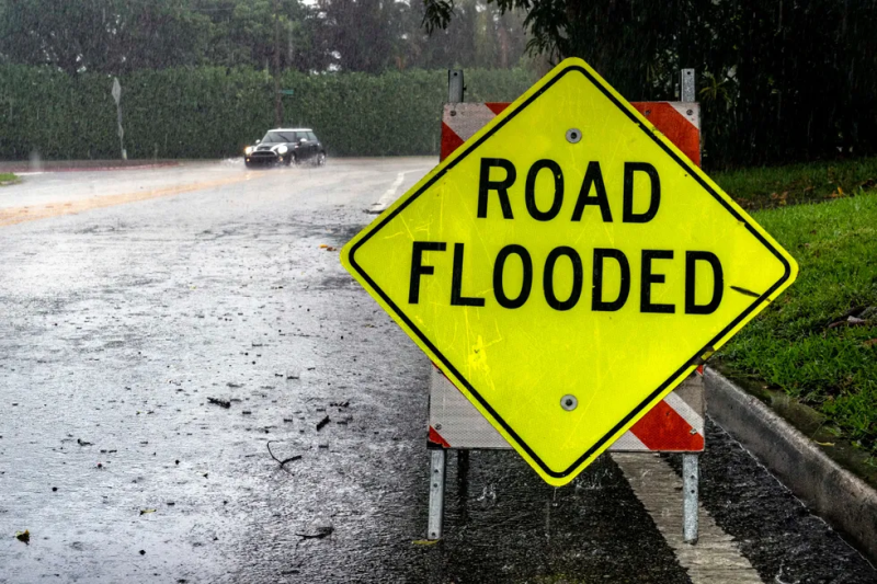
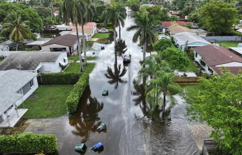
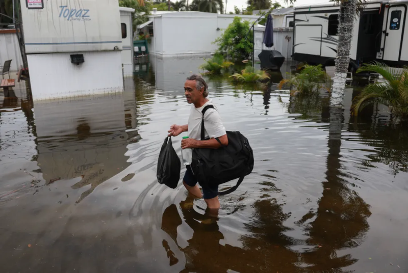
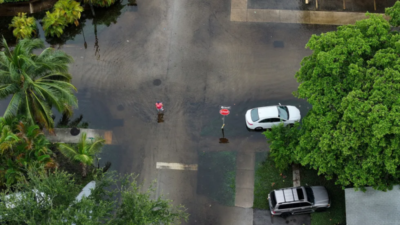
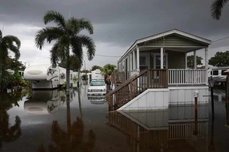
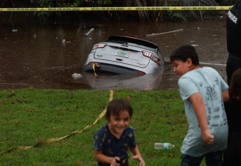
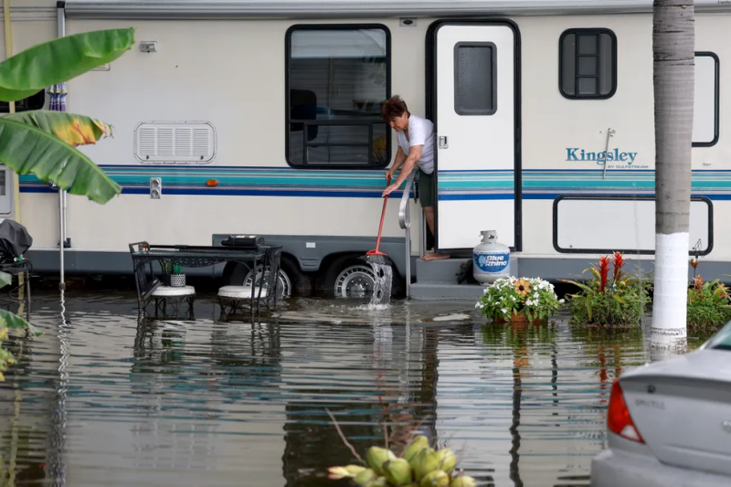
A deluge of rain and thunderstorms swept through South Florida this week with floodwaters leading to road closures, prompting rescues and disrupting hundreds of flights through the region.
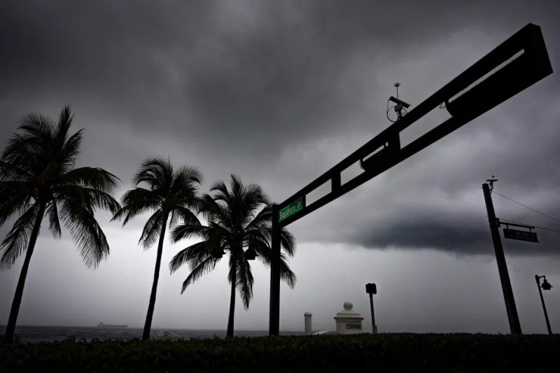
The storms began Tuesday and are the result of a slow-moving low-pressure system, according to the National Weather Service. Major travel arteries, including a portion of Interstate 95, closed Wednesday as came warnings of "life threatening floods."
A tornado touched down in Hobe Sound, just north of West Palm Beach with peak winds of 85-95 mph and moved toward Jupiter Island before entering the Atlantic, a survey team with the weather service confirmed. The storms also toppled power poles, uprooted trees and damaged homes.
More heavy rainfall and hazardous conditions came Thursday night as storms moved across Miami-Dade and Broward counties, the National Weather Service in Miami said, with more flooding, impassible roads and water damage affecting the already rain-soaked area.
And the rain is expected to continue into Friday, with a flood watch remaining in effect through the evening.
See photos as Florida residents battle the rising waters.
South Florida weather:Region more storms after days of record-breaking rain, flooding
Photos show flooding affecting South Florida





Contributing: Christopher Cann, USA TODAY.
Disclaimer: The copyright of this article belongs to the original author. Reposting this article is solely for the purpose of information dissemination and does not constitute any investment advice. If there is any infringement, please contact us immediately. We will make corrections or deletions as necessary. Thank you.


